WAY
WAYIATA code
KWAYICAO code
1,067 mlongest of 1 runway
326 melevation · 1,070 ft
1937opened
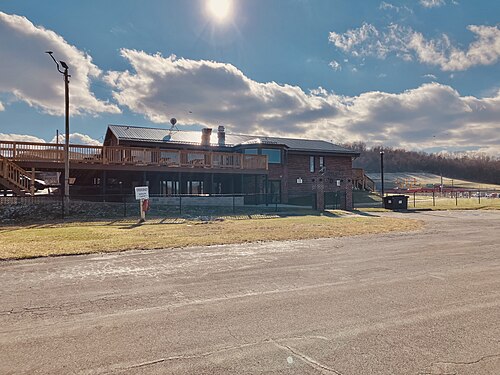
Greene County Airport (WAY/KWAY) is an airport in the United States serving Greene County.
It has 1 runway, the longest 1,067 m, at an elevation of 326 m.
Identification
- IATA
- WAY
- ICAO
- KWAY
- Wikidata
- Q5603843
Location
- Country
- United States
- City served
- Greene County, Whyalla
- Located in
- Pennsylvania
- Coordinates
- 39.9011, -80.1306
- Elevation
- 326 m (1,070 ft)
Organisation
- Type
- airport
- Opened
- 1937-12-01
- Named after
- Greene County
Runways
- 09/27
- 1,067 m · 3,501 ftrock asphalt