VES
VESIATA code
KVESICAO code
1,375 mlongest of 1 runway
307 melevation · 1,007 ft
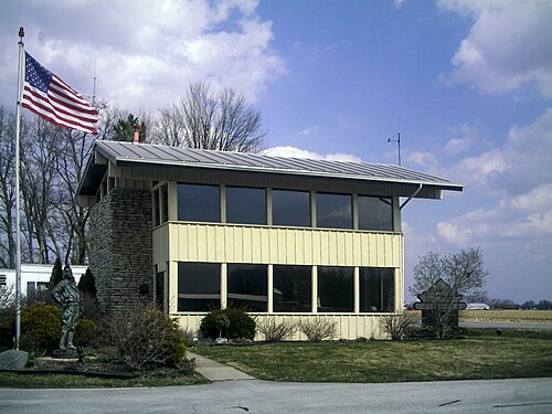
Darke County Airport (VES/KVES) is an airport in the United States serving Versailles.
It has 1 runway, the longest 1,375 m, at an elevation of 307 m.
Identification
- IATA
- VES
- ICAO
- KVES
- Wikidata
- Q1709059
Location
- Country
- United States
- City served
- Versailles
- Located in
- Ohio
- Coordinates
- 40.2044, -84.5319
- Elevation
- 307 m (1,007 ft)
Organisation
- Type
- airport
Runways
- 09/27
- 1,375 m · 4,511 ftrock asphalt