TSP
TSPIATA code
KTSPICAO code
1,231 mlongest of 1 runway
1,220 melevation · 4,003 ft
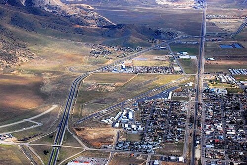
Tehachapi Municipal Airport (TSP/KTSP) is an airport in the United States serving Kern County.
It has 1 runway, the longest 1,231 m, at an elevation of 1,220 m.
Identification
- IATA
- TSP
- ICAO
- KTSP
- Wikidata
- Q7694819
Location
- Country
- United States
- City served
- Kern County
- Located in
- California
- Coordinates
- 35.1350, -118.4392
- Elevation
- 1,220 m (4,003 ft)
Organisation
- Type
- airport
Runways
- 11/29
- 1,231 m · 4,039 ftrock asphalt