SUE
SUEIATA code
KSUEICAO code
44passengers in 2019
1,402 mlongest of 2 runways
221 melevation · 725 ft
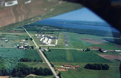
Door County Cherryland Airport (SUE/KSUE) is an airport in the United States serving Sturgeon Bay.
It handled 44 passengers in 2019.
It has 2 runways, the longest 1,402 m, at an elevation of 221 m.
Passengers per year
2018–201912044
2018’182019’19
Identification
- IATA
- SUE
- ICAO
- KSUE
- Wikidata
- Q1654590
Location
- Country
- United States
- City served
- Sturgeon Bay
- Located in
- Door County
- Coordinates
- 44.8436, -87.4217
- Elevation
- 221 m (725 ft)
Organisation
- Type
- airport
Runways
- 02/20
- 1,402 m · 4,600 ftrock asphalt
- 10/28
- 975 m · 3,199 ftrock asphalt