Independent directory of airports & seaports · open data
HubAtlasairports & seaports directory
  1. Home
  2. Airports
  3. Ecuador
  4. GPS
GPS
Small airport · Ecuador

Seymour Airport

Baltra Island, Ecuador

GPSIATA code
SEGSICAO code
262.6Kpassengers in 2018
2,401 mlongest of 1 runway
63 melevation · 207 ft
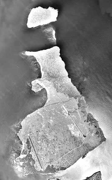
Seymour Airport (GPS)
Photo: U.S. Army · Public domain · Wikimedia Commons

Seymour Airport (GPS/SEGS) is an airport in Ecuador serving Baltra Island.

It handled 262,647 passengers in 2018.

It has 1 runway, the longest 2,401 m, at an elevation of 63 m.

Identification
IATA
GPS
ICAO
SEGS
Wikidata
Q1186422
Location
Country
Ecuador
City served
Baltra Island
Located in
Galápagos Province
Coordinates
-0.4539, -90.2658
Elevation
63 m (207 ft)
Organisation
Type
airport, commercial traffic aerodrome
Runways
14/32
2,401 m · 7,877 ftrock asphalt