DHT
DHTIATA code
KDHTICAO code
1,951 mlongest of 2 runways
1,216 melevation · 3,990 ft
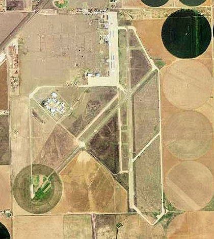
Dalhart Municipal Airport (DHT/KDHT) is an airport in the United States, in Texas.
It has 2 runways, the longest 1,951 m, at an elevation of 1,216 m.
Identification
- IATA
- DHT
- ICAO
- KDHT
- Wikidata
- Q1654971
Location
- Country
- United States
- Located in
- Texas
- Coordinates
- 36.0225, -102.5472
- Elevation
- 1,216 m (3,990 ft)
Organisation
- Type
- airport
Runways
- 17/35
- 1,951 m · 6,401 ftrock asphalt
- 03/21
- 1,658 m · 5,440 ftrock asphalt